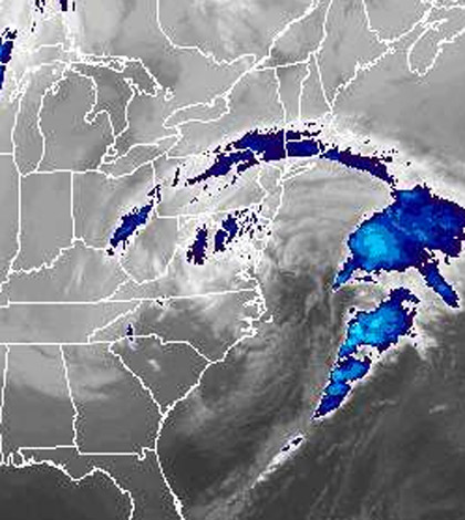

The eastern end of Suffolk County is under a winter storm warning as a nor’easter with the potential of dumping upwards of eight inches of snow on Long Island makes its way to the area Wednesday.
Areas east of William Floyd Parkway could feel the biggest impact, but Nassau County and western Suffolk are also in store for some wet weather. The National Weather Service is predicting up to six inches of snow in those areas.
Western Suffolk and Nassau are currently under a winter storm advisory.
The storm will bring a mixture of rain and snow to the area Wednesday afternoon, before turning over to heavy snow in the evening and overnight.
The snow is not expected to rapidly accumulate on roadways because temperatures will stay above freezing in the evening, the weather service noted.
“The heaviest snow will be overnight tomorrow into the morning rush hour,” and could create hazardous conditions during the morning commute, said Tim Morrin, meteorologist at the Upton-based weather service.
And its likely that the system will hover over the area for some time, the weather service said.
It’s “not something we’re going to get out of our hair quickly,” Morrin added.
The storm could continue to drop light snow on the area Thursday and Friday, forecasters said.
A wind advisory is in effect until 6 p.m. Thursday and a coastal flood warning was issued for parts of Nassau and Suffolk until 8 p.m. Wednesday, the weather service said.
The storm could produce 55 mph wind gusts and sustained winds between 25 to 35 mph, forecasters said.
The weather service is also warning of possible beach erosion and 5-foot high waves across western Long Island Sound and 8-foot waves across the twin forks, the NWS said.