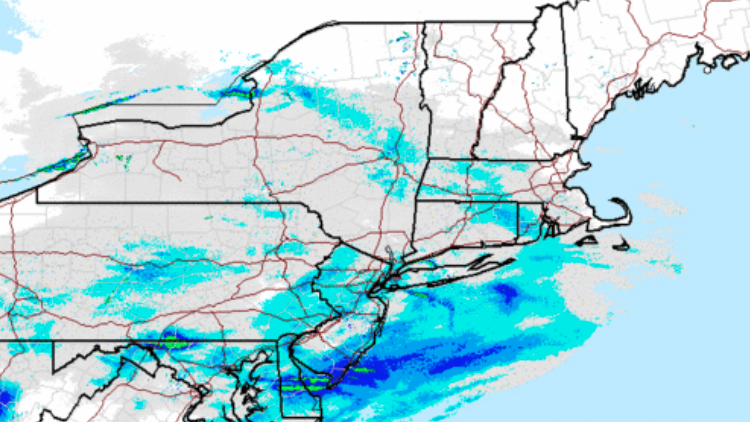
The blast of frigid air that enveloped Long Island Tuesday morning also came with light snow—a dusting that arrived just as commuters hit the roads.
The white stuff is expected to continue to fall throughout the afternoon, but accumulation may not exceed 2 inches, according to the National Weather Service.
Meteorologists at the NWS’ Upton office predicted between 1-2 inches, with most of the snowfall coming before 5 p.m. There is a chance of snow showers in the forecast until 7 p.m., however.
While accumulation may not be significant, it’s the frigid temperature that could turn out to be the biggest nuisance. Forecasters predict a high of 26 degrees Tuesday with wind chill values between 10 and 15 degrees.
The brutal chill will hang around all week, meteorologists said.
Wednesday could be even colder, with the wind chill making it feel like 5 degrees during the day and below zero in the evening.
There is a slight chance of snow showers Wednesday.