
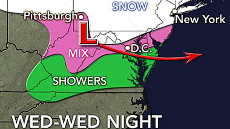
Light snow is forecast to coat Long Island in up to an inch of snow starting Wednesday afternoon, which is likely to snarl the evening commute—with up to six inches possible this weekend.
The flakes are expected to begin falling after 3 p.m. Wednesday and continuing through at least 1 a.m. Thursday, according to the National Weather Service. Less than an inch of snow is expected before that storm goes out to sea.
“A potential nor’easter Saturday into Saturday night could result in significant snowfall accumulations across the region in excess of six inches,” the agency’s Upton-based meteorologists said in a hazardous weather outlook statement. “There is uncertainty and the precipitation in terms of amount and type will be highly dependent on the strength and exact track of the low.”
Wednesday’s system, which is expected to impact the Mid-West before hitting the tri-state area, is not expected to become a major storm, but will make for slushy roadways that make driving more dangerous and increase travel times.
Temperatures will hit a high of 34 Wednesday and drop into the 20s after sundown, forecasters said. Temps on Thursday will reach a high of 37 with wind chills as low as 20.
Temps are forecast to stay in the 30s through the weekend, with sunny skies on tap for Friday, with a chance of rain and snow late Friday into Saturday and more sun on Sunday.