
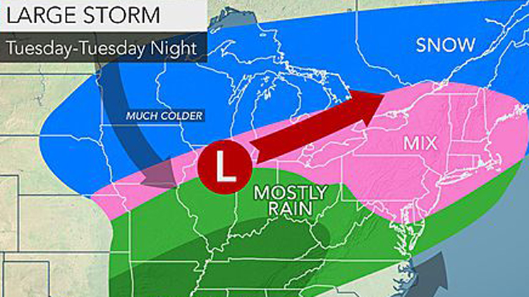
Another winter storm is forecast to bring a dangerous wintry mix of snow, sleet and freezing rain to Long Island on Tuesday—with even more messy weather expected later this week, forecasters say.
Despite the snow, the state Department of Public Service’s Long Island office said it would still hold its planned public hearing at the William H. Rogers Legislative Building on Veterans Memorial Highway in Smithtown at 7 p.m. on PSEG Long Island and LIPA’s planned 4 percent, 3-year rate hike, according to a spokeswoman from the PSEG-LI office.
The National Weather Service issued a winter weather advisory through through 12 a.m. Wednesday and a winter storm watch from 7 p.m. Wednesday to 7 p.m. Thursday for Nassau and Suffolk counties along with much of the New York Metro area.
“Snow develops late Tuesday afternoon…then mixes with sleet and freezing rain Tuesday evening before changing to freezing rain by midnight…then to plain rain late at night,” meteorologists in the agency’s Upton office said in a statement. “The rain…mixes with or changes to snow and sleet Wednesday evening…before changing to all snow around or shortly after midnight Wednesday night. The snow should taper off Thursday afternoon..”
One to three inches of snow is predicted to Tuesday into Wednesday. Then, five to eight inches of snow is possible Wednesday into Thursday.
Once the storm leaves the area, the weekend forecast calls for clear, sunny skies with temps in the 20s Friday warming up to the 30s Saturday and reaching the 40s early next week.
Drivers should be cautious of limited visibility and slippery roadways.