
Yep, we’re talking about snow.
Long Islanders—bruised and battered from a hellish winter—woke up Saturday morning to snow flurries and unseasonably cool temperatures.
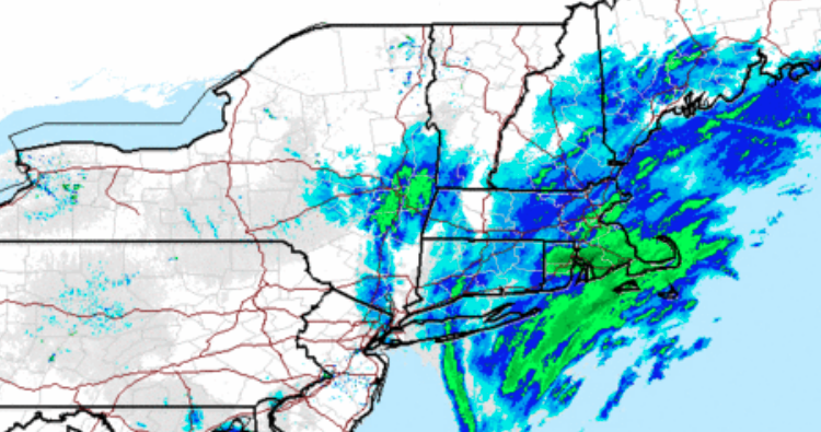
The Island won’t see significant accumulation but there is potential for up to 3 inches in eastern Suffolk County; Nassau County could get an inch.
“We do think the heaviest of the snow will be across eastern Long Island,” said Michael Silva, meteorologist at the National Weather Service’s Upton office.
There’s likely to be very little accumulation on roadways, Silva said.
The snow will continue through the afternoon.
Perhaps more frustrating than the precipitation is the blast of cold air making its way to Long Island.
The evening forecast calls for lows in the 20s, with wind chill values between 10 and 15 degrees.
Forecasters are predicting sunny skies on Sunday with a high of 39.
Warmer weather will rush in next week, with temperatures in the low 50s Monday through Wednesday.