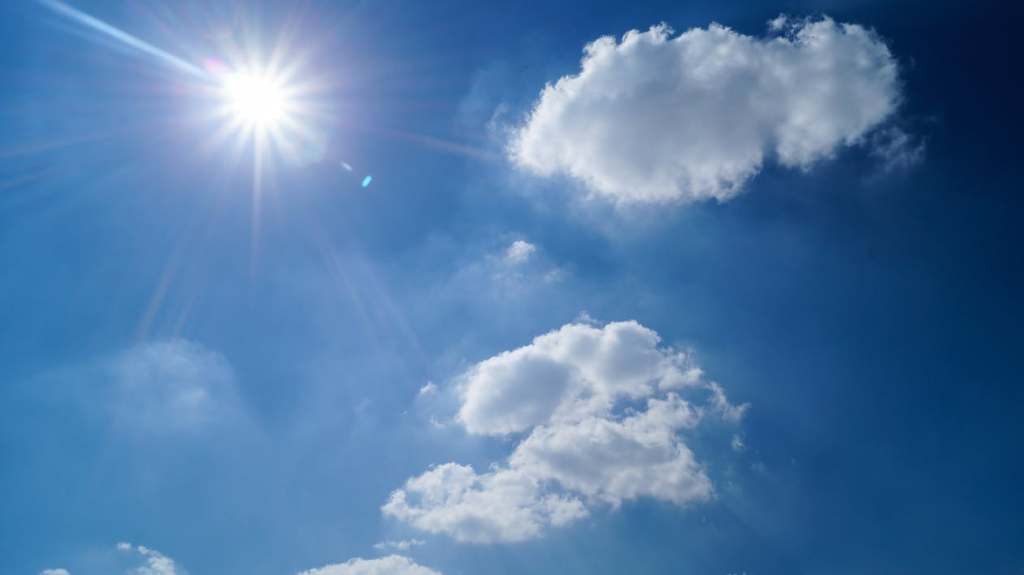
Last month was the third-warmest February on record—a distinction that wouldn’t shock anyone who enjoyed Mother Nature’s much-appreciated spring tease over the last few weeks.
The National Weather Service’s Upton office reported that February’s average monthly temperature was 37.8 degrees. The reading was .08 degrees cooler than the record established in 1998 and slightly below the second-warmest Februaries in 1984 and 2012. The weather service’s Islip record books date back to 1984.
It was entirely possible for the month to claim the record books, given that February ended with a string of 11 days boasting average temperatures above freezing, including a pair hitting 65. On Tuesday, forecasters recorded a high of 58, the final day of the month. Alas, it was not warm enough to push February 2017 into the record books.
In total, there were nine days that topped 50 degrees, including four that exceeded 60 degrees. The warm days outpaced the handful of days that averaged temperatures at or below freezing.
Forecasters attributed the unseasonably warm climate to an “early spring-like pattern.”
By comparison, this past February was 2.1 degrees warmer than last year and a remarkable 16.2 degrees higher than February 2015—the coldest February on record.
Since Mother Nature has a cruel way of humbling us, those heartened by February’s warm embrace should not get too comfortable jut yet. While Wednesday will top off in the 60s, the upcoming forecast isn’t so inviting.
On Thursday night, the mercury will drop into the 20s and make only a modest climb into the high 30s on Friday, which could see some light snow. Friday evening will be in the teens, and Saturday will be around freezing.
In the meantime, you can set your countdown to spring, which is only 19 days away.