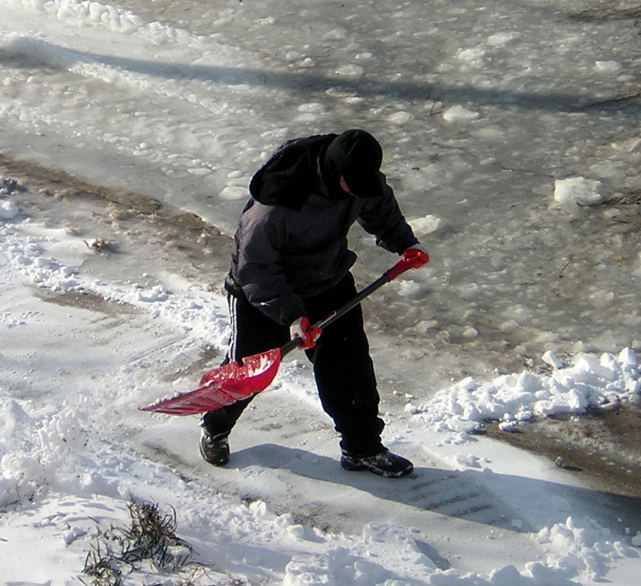
An intense arctic blast known as a “polar vortex” is forecast to plunge Long Island into a dangerously deep freeze with sub-zero wind chills that will cause hazardous black ice on roadways.
A wind chill advisory will be in effect from midnight through 6 p.m. Tuesday when up to 50 mph wind gusts will make single-digit temperatures feel as low as -13, according to Upton-based National Weather Service meteorologists.
“This will result in frost bite and lead to hypothermia if precautions are not taken,” the agency said in a statement. “If you must venture outdoors…make sure you wear a hat and gloves.”
Strong winds will also make driving difficult, especially for high-profile vehicles. A 50-percent chance of snow showers Monday night may also reduce visibility and add another coat of ice to the roadways, although no serious accumulation is expected.
Tuesday is expected to be mostly sunny during the big chill with base temps in the 20s combined with gusts of up to 38 mph that will continue to feel as low as -13 during the day.
After that, temperatures are expected to continue hovering in the 20s Wednesday before rising above freezing in the 30s on Thursday and hitting 40s over the weekend after another chance of snow Friday.