 A slight chance of snow Monday afternoon is forecast to give way to another dangerously cold arctic blast this week on Long Island.
Rain and snow showers with wind gusts up to 26 mph Monday will come before temperatures drop down from 28 to 15 overnight, setting the tone through the weekend, according to the National Weather Service.
“The core of this latest arctic air mass will be settling in tomorrow and will remain with us until Thursday,” said Tim Morrin, an Upton-based NWS meteorologist who added that wind chills may be below zero again Tuesday.
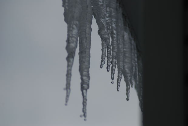
The threat of hypothermia, icy roads and bursting pipes is expected to continue with the bitter cold brought on by the polar vortex for the third time this month.
Temps are expected to hit a high of 20 Tuesday with another slight chance of snow comes after midnight into Wednesday morning, when highs will be near 24 and lows will drop down to 15 after sundown.
Thursday could hit a high of 31 and Friday is forecast to go above freezing with a high near 35, although it is expected to drop down to 24 both nights.
Another slight chance of light snow is forecast for Saturday night as temps hold in the low 30s.