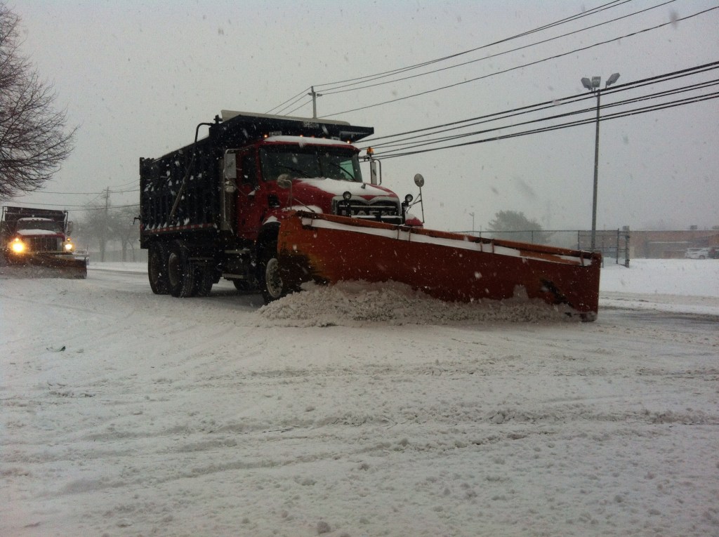

One-to-two inches of snow is forecast to fall Tuesday night on Long Island, with up to four inches possible on the East End amid the third arctic blast this month.
There’s a 60-percent chance that flakes will start falling after midnight through 10 a.m. Wednesday while temperatures hit a low of 13 overnight, according to the National Weather Service.
“Low pressure passing south and east of the area tonight into Wednesday will bring the potential for a light snow event,” Upton-based NWS meteorologists said in a hazardous weather outlook statement.
The snow comes as subfreezing temperatures and subzero wind chills brought on by the return of the polar vortex bring the risk of hypothermia, bursting pipes and icy roadways.
The clouds are expected to break later Wednesday morning with a high near 27 before dropping down to 16 after sundown. Thursday is expected to be the last day of the big chill with a high near 31 and a low of 24 overnight into Friday.
A slight chance snow flurries and rain is possible Friday into Saturday, when temps top freezing and the forecast is expected to clear up, giving way to cloudy skies near 40 in time for Superbowl Sunday at Metlife Stadium in New Jersey.