Get ready for another deep freeze, Long Island.
An arctic front passing through the region is bringing cold air from Canada—yes, you can blame our friends up north—resulting in single-digit temperatures Thursday evening and wind chill values between zero and 5 degrees, according to the National Weather Service.
The brutal cold will hang around through Friday morning, meaning temperatures will be in the single digits before the mercury rises to a high of 23, forecasters said.
It’ll be cold, but not record-breaking cold, said David Stark, a meteorologist at the National Weather Service office in Upton. The previous record for Feb. 5 was in 1996, when the thermometer dipped to a bone-chilling 1 degree.
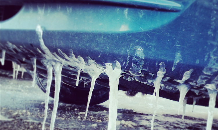
The weather service is warning drivers that patchy black ice is possible as temperatures take a dramatic dive Thursday.
As for Thursday morning’s flurries, Stark said the Island saw less than an inch of snow in most areas.
Forecasters are keeping their eye on a potential storm beginning Saturday night and lasting through Tuesday. The weather service said, as of right now, the potential exists for 8 or more inches of snow.
Stay tuned, folks. And stay warm.