
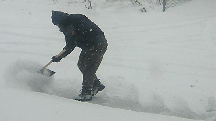
The winter storm that was expected to roll into Long Island late Wednesday night was slightly delayed, but projections of between 6 to 8 inches of snow remains the same.
Long Islanders expecting to see at least a few inches of snow on the ground Thursday morning woke up to little to no accumulation because cold air coming from the north didn’t make its way to the region until about 5 a.m., Tim Morrin, a meteorologist at the National Weather Service’s Upton office, said.
At that point, rain started to transition to snow, which picked up in intensity as most people were hitting the roads for the morning commute.
The weather service issued a winter storm warning for both Nassau and Suffolk counties until 7 p.m. Thursday.
Morrin said snow will fall throughout the day and should impact the evening commute.
The storm is expected to taper off sometime between 5 and 7 p.m., Morrin said. Temperatures will also plummet during the course of the day, dropping into the 20s in the afternoon and then becoming cooler overnight.
The weather service is warning commuters of hazardous travel conditions “due to falling temperatures and road icing.” The snow will also cause reduced visibility.
“A winter storm warning for heavy snow means severe winter weather conditions are expected or occurring,” the weather service said in a statement. “Significant snow amounts of snow are forecast that will make travel dangerous. Only travel in an emergency.”
Drivers who must travel should have a flashlight, food and water in their vehicle, the agency said.