A nor’easter forecast to hit Long Island late through Tuesday morning is bringing heavy rains, coastal flooding and wind gusts that may reach up to 70 mph that are downing branches, trees and power lines.
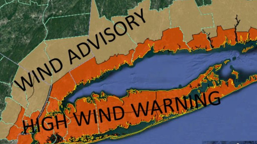
The National Weather Service (NWS) issued a high wind warning for all of Nassau and Suffolk counties from through 1 a.m. Tuesday, when sustained winds of up to 40 mph are expected. The agency also issued a coastal flood warning during high tide Monday. Up to two inches of rain are likely, although twice that amount is possible, forecasters said.
“The strongest winds are expected Monday afternoon and evening,” Upton-based NWS meteorologists said in a statement. The agency clocked the high wind mark at 55 mph as of Monday afternoon.
Nassau and Suffolk county officials urged residents to stay off the roads unless it’s an emergency and take items inside that can become dangerous projectiles in the strong winds.
Much of the New York Metro area is under the same high wind warning. Forecasters warned that the winds and gusts can down utility lines, causing outages, in addition to making travel difficult.
The coastal flood advisory was issued for oceanfront and bayfront areas for the entire South Shore and East End of LI, when tides are expected to be above average, with a slight possibility of major flooding in isolated locations, potentially resulting in some waterfront road closures and structural damage, the agency said. Beach erosion and waves washing over dunes is also expected late Sunday night into Tuesday.
The storm system is expected to clear the region by Tuesday afternoon, when skies are forecast to clear up with temperatures in the 40s.