Winter isn’t over yet, folks.
Long Islanders are in store for bone-chilling weather Friday as a burst of snow is likely to hit the area later in the day, complimented by strong wind gusts and rapidly falling temperatures.
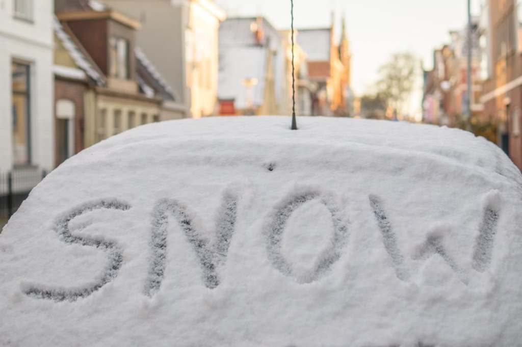
A hazardous weather outlook statement published by the National Weather Service’s Upton office Friday said snow showers and localized snow squalls are expected Friday afternoon into the early evening. The combination of a brief period of heavy snowfall and whipping winds could lead to poor visibility at times and accumulation of up to an inch, forecasters said.
“Any areas that experience heavier snow showers or snow squalls will also have potential to experience flash freeze conditions, as temperature rapidly drop below freezing behind the arctic frontal passage late in the day to early this evening,” NWS’s statement said.
While the forecast calls for sunny skies during the day and a high near 38, strong winds will make it feel closer to 20. The mercury will plunge as day transitions to night, with wind chill values possibly in the single digits, forecasters said. Snow is expected to fall before 7 p.m.
Similar conditions are in Saturday’s forecast, minus the snowfall, and Sunday will be sunny with highs approaching 35.
The burst of cold follows a February that was the third warmest on record, characterized by a string of days exceeding 50 degrees and several in the 60s.