Blizzard warnings across Long Island were lifted Tuesday and snowfall amounts were lessened just as a major storm impacting much of the East Coast made its way to the region.
With the storm’s track altered, forecasters predicted LI would get between 4 to 8 inches of snow—a stark change from the evening’s forecast, which called for upwards of two feet of snow.
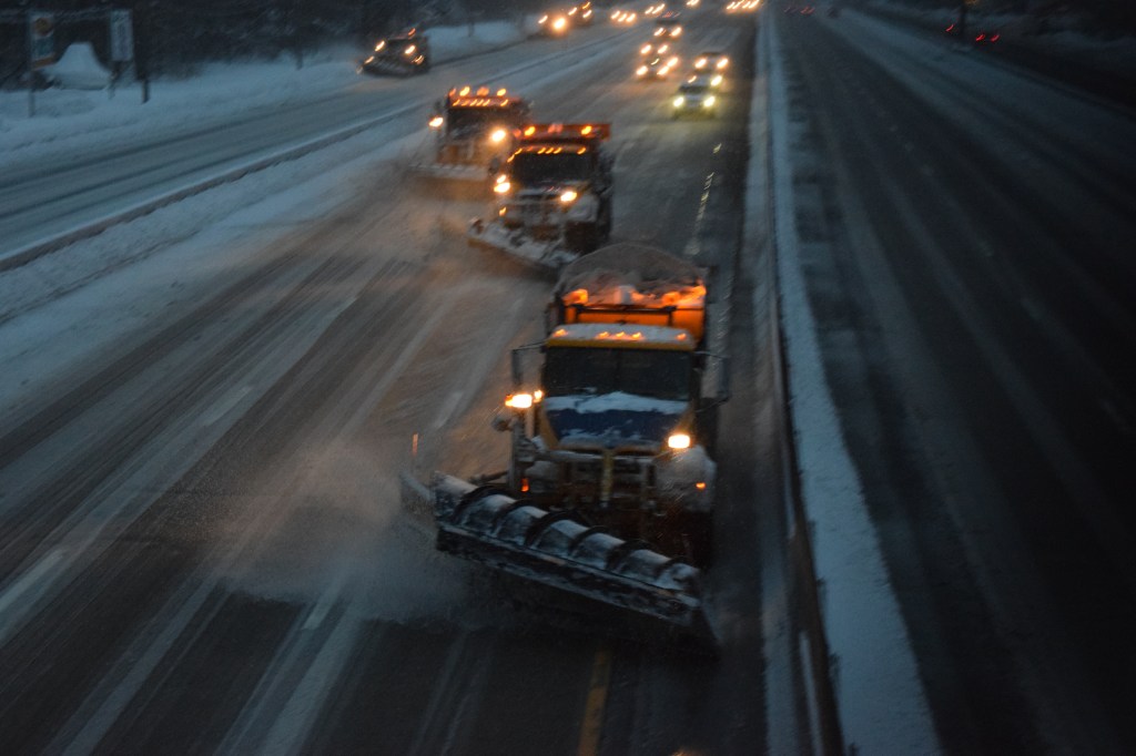
Instead of a deluge of the white stuff, Long Islanders can expect snow, sleet, and freezing rain throughout the day. The sleet could be heavy at times, forecasters said, adding that periods of blowing snow are still possible.
A coastal flood warning is in effect for the South Shore until 2 p.m. Forecasters with the National Weather Service warn of “moderate coastal flooding” at high tide and localized flooding of vulnerable waterfront and shoreline roads.
Despite the change in forecast, the wintry mix was enough to cause problems on the Long Island Rail Road, which was facing system-wide delays of up to 15 minutes Tuesday morning.
The MTA was encouraging riders on Tuesday to stay home and avoid traveling by rail. It appears many riders heeded those warnings, with the LIRR reporting minimal ridership Tuesday morning.
Speaking at a press conference Tuesday morning, Suffolk County Executive Steve Bellone said that despite the uncertainty with the storm, it’s clear that “there is less accumulation than the forecast had predicted.”
“This is different than the trend we’ve seen in most of the storms we’ve had this season, where the eastern end of Long Island…has gotten hit harder,” Bellone added. “So we’ve gotten a little bit of a break here. But I want to caution people who look out the window and see that the roads are passable, that there isn’t significant accumulation on the roads. Those roads are still slick and icy.”
Gov. Andrew Cuomo said it was important to monitor the temperatures as day transitions to night.
“It’s actually easier to move snow than it is to move ice, obviously,” he said at a Tuesday press conference.
Still, he welcomed the latest forecast for Long Island and New York City, saying there’s been less disruptions than expected. “We have no evidence of any coastal flooding along Long Island…no evidence of any power outages of any significance, even though we had high gusts of wind,” Cuomo said.
Areas upstate were not so lucky, Cuomo said, adding that the state will redeploy equipment from Long Island to the Southern Tier, which could get battered with more than two feet of snow.
While Long Island seems to have been spared the worst, many states across the East Coast were not as fortunate. The powerful nor’easter could impact as many as eight states and has already been blamed for thousands of flight cancellations and delays. Nearly all flights out of LaGuardia Airport were cancelled and John F. Kennedy Airport was also dealing with significant delays, officials said.
The massive storm reportedly placed an estimated 15 million people under a blizzard warning, according to reports.
The snowy mix could continue well into the evening, forecasters said. And wind gusts could clock in at more than 40 miles per hour.