Another snow storm expected to hit Long Island on Thursday will last until Friday evening in what forecasters are calling “a long-duration winter weather event.”
The National Weather Service issued a winter weather advisory for much of the New York Metro area including Nassau and Suffolk counties from 4 a.m. Thursday to 7 p.m. Friday, when up to nine inches of snow is now expected to fall.
“Light to moderate snowfall is likely early Thursday morning into afternoon,” Upton-based NWS meteorologists said in the advisory. “A light wintry mix of sleet and/or freezing rain is possible for a period Thursday evening into Thursday night, before turning back to light snow on Friday morning and ending in the afternoon or evening.”
The storm is expected to bring more snow, ice, and sleet from the Texas panhandle through Kentucky and up through Washington D.C. to New York City, New Jersey and Boston.
“Snowfall accumulations of 3 to 6 inches are expected Thursday, with total snowfall accumulations of 5 to 9 inches by the end of the event on Friday,” NWS said. “A light glaze of ice accumulation is possible Thursday night as well.”
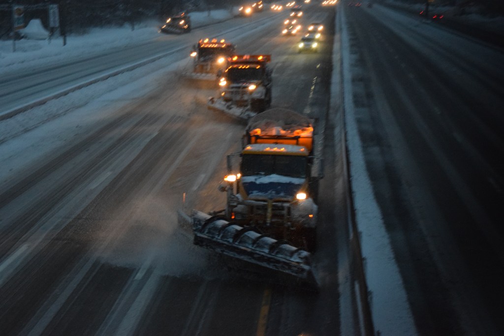
Travel is expected to be difficult with hazardous road conditions that could impact the morning or evening commute.
The latest storm comes as snow is still melting from a recent spate of winter weather. Once the storm passes, temperatures this weekend are forecast to be in the 30s before another 60 percent chance of rain and snow Monday.
-With Reuters