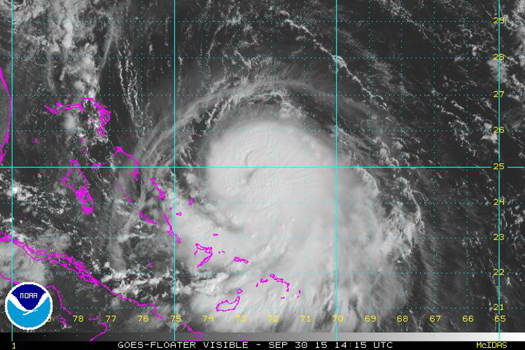
Another wave of heavy rain on tap through the weekend has prompted concerns of potential flooding on Long Island as meteorologists and local agencies keep a watchful eye on newly formed Hurricane Joaquin’s uncertain trajectory. The National Hurricane Center upgraded Joaquin from a tropical storm to a hurricane Wednesday morning. By late afternoon it was located 245 miles east-northeast of the central Bahamas and was moving at approximately six miles per hour.
Key messages for Hurricane #Joaquin (Wednesday afternoon, Sep. 30) http://t.co/3TBiIDYf5l pic.twitter.com/A6xUoyOHHA
— Natl Hurricane Ctr (@NWSNHC) September 30, 2015
In response, Gov. Andrew Cuomo’s office reminded residents to remain vigilant despite Joaquin’s uncertain path. “Our state has seen the damage that extreme weather can cause time and time again–and I am urging New Yorkers take precautions for more heavy storms in the coming days,” Cuomo said in a statement. “Tropical Storm Lee and Hurricane Irene proved that you do not have to be near the coast to be impacted by Mother Nature. I have directed State agencies to ready their emergency response equipment in partnership with local governments, and I encourage all of our state’s residents to be prepared and stay safe.” The governor urged residents to stock up on emergency supplies, including water and non-perishable food, and to gather emergency contact information.
Suffolk County Executive Steve Bellone said the county is closely monitoring Joaquin’s progress and will take “necessary precautions to prepare in the event of severe weather.” Invoking Superstorm Sandy, the county executive said: “it is better to be overly cautious and to have a plan in place. The county is closely monitoring the storm’s progress and taking the necessary precautions to prepare in the event of severe weather.”
The Oct. 29, 2012 superstorm was also on the mind of officials in Nassau County. “Superstorm Sandy taught us that given our location as an island, we are vulnerable to the Atlantic Ocean and susceptible to the powerful and destructive nature of hurricanes and tropical storms such as Joaquin,” said Nassau County Executive Ed Mangano in a statement. “It is critical that residents be prepared for it and take all warnings seriously.”
Here is the latest briefing on the heavy rain, winds, tidal flooding, and Tropical Storm Joaquin. Please share! http://t.co/yF2vKfIn6u — NWS New York NY (@NWSNewYorkNY) September 29, 2015
The Island may still experience heavy rain through the weekend, according to the Upton-based National Weather Service. The agency said it was too soon to predict Hurricane Joaquin’s course but it noted that the Island was already experiencing tropical moisture as a result of the storm. LI was saturated with 1 to 2 inches of rain as a storm system rolled across the region overnight, knocking out power to several thousand PSEG Long Island ratepayers. As of Wednesday afternoon, the number of customers in the dark had dwindled to less than 500.
“We have activated our storm preparedness plans so we can respond quickly to the approaching weather,” said John O’Connell, vice president of Transmission & Distribution at PSEG Long Island, in a statement. PSEG LI will conduct system checks on its equipment and perform logistics checks as it prepares for more wet weather. The forecast for the remainder of the week calls for rain through the weekend. LI could see another 2-3 inches of rain by Friday, the weather service said.
While it is too early to know with any certainty when and where #Joaquin will make landfall – and the strength of the… Posted by PSEG Long Island on Wednesday, September 30, 2015