Snow Coming Friday, ‘Arctic Air Mass’ Through Weekend
Snow is expected to fall on Long Island on Friday, with between one and three inches falling before the snow tapers off in the evening. An arctic air mass is expected to follow on Long Island through Sunday.
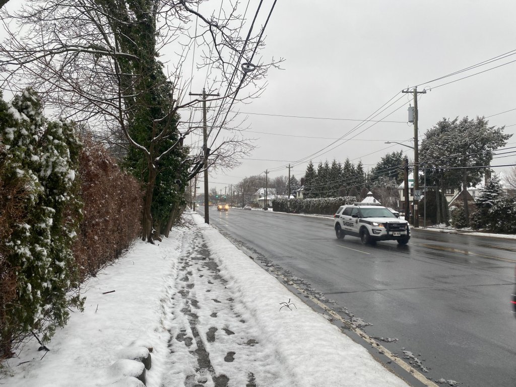
This comes shortly after Long Island had its first true snowfall of the winter on Tuesday. The highest amount of precipitation for both Nassau and Suffolk was three inches, in Levittown and Mount Sinai. Nassau was hit slightly harder, as its low was 1.3 inches in Bellmore. Suffolk’s low was 0.3 inches in Ridge.
“We’re expecting a light accumulating snow event taking place mainly during the day tomorrow,” James Tomasini, a meteorologist for the National Weather Service (NWS) told the Press. “We’re going to see light snow starting as early as around 7 a.m., but becoming more likely and more steady, closer to 9 a.m., tapering off in the evening.”
An artic air mass is to follow, with highs in the mid-teens throughout Saturday and Sunday and wind chills in the single digits – or even subzero temperatures – on Friday night, Saturday night, and Sunday night, before it warms up again.
“We’re back in the mid to upper 30s on Monday and then back in the 40s on Tuesday,” Tomasini added.