
A coastal storm dropped several inches of snow on Long Island early Saturday morning, setting the stage for what is likely to be a messy day on the Island.
By early morning, some areas in Nassau and Suffolk counties were hit with up to 5 inches of snow. By the time most Long Islanders had rolled out of bed, the snow had already been replaced with either rain or freezing rain, or a mix of both. In some areas, the temperature at daybreak had already reached Saturday’s predicted high of 34.
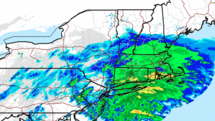
Long Island, which is under a winter weather advisory until 6 p.m. Saturday, should see a wintry mix of sleet and rain throughout the day before the preciptiation transitions back to snow in the late afternoon.
“At that point, by late afternoon perception as a whole is starting to wind down,” said John Murray, a meteorologist at the National Weather Service office in Upton.
The wintry mix could make for hazardous travel conditions and reduce visibility on the roads, the weather service said. Drivers are urged to use caution.
The forecast for the evening calls for a low of 29 with winds gusting as high as 21 mph.
Sunday will be dry, according to the weather service. Forecasters predict mostly sunny skies with a high near 37.