

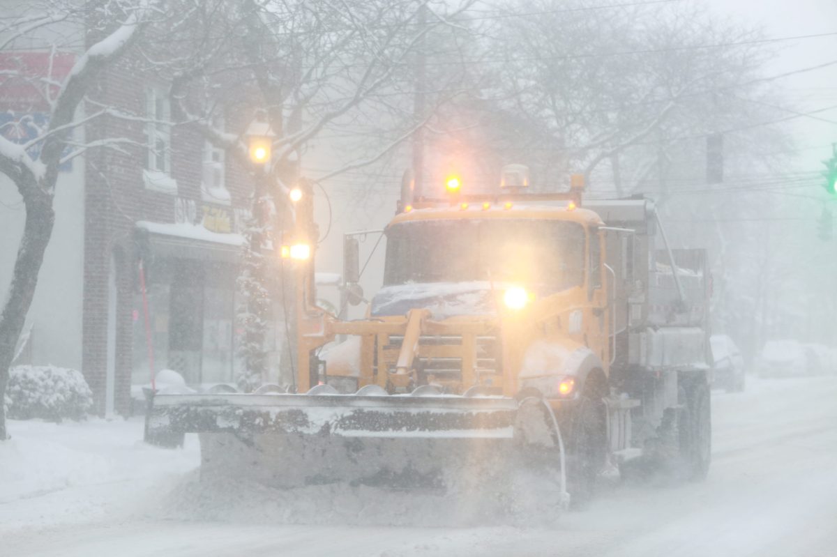
A mix of snow, sleet and freezing rain is forecast to coat Long Island in ice on Sunday just as the region finishes digging out from a recent blizzard.
A winter weather advisory was issued for Nassau and Suffolk counties from 2 a.m. to 4 p.m. Sunday, when temperatures will be in the low 30s, according to the National Weather Service (NWS).
Up to an inch of snow and sleet along with up to a few hundredths of an inch of ice is expected to make roads slippery and driving hazardous, NWS meteorologists in the agency’s Upton office said in a statement. Up to two inches of snow is possible on the North Shore.
Much of the tri-state area is under the same advisory.
The latest winter storm comes days after a blizzard dumped more than a foot of snow on much of LI, causing power outages as well as forcing school and business closures.
Another chance of rain and snow is forecast for Sunday night, although little to no accumulation is expected.
A high wind watch was issued for LI from 6 a.m. to 6 p.m. Monday, when 35 mph sustained winds and up to 60 mph gusts may down trees and utility lines, potentially causing power outages, NWS said.
Sunny skies with temperatures in the high 30s and low 40s are forecast for the rest of the week with temps in the 20s after sundown.