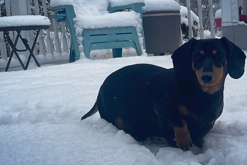
A winter storm dumped more snow than expected on Long Island early Saturday morning after forecasters initially predicted only a couple of inches of the white stuff would coat the region.
The National Weather Service (NWS) reported 6.6 inches of snow in Oceanside as of 11:30 a.m. Saturday as the snow was still falling. The agency’s meteorologists on Friday had forecast about two inches of snow for LI, but warned that the anticipated accumulation could doubled depending upon the path the storm takes — and later added that three inches of snow could fall with up to two inches more possible.
”A further northward shift would increase potential and duration for moderate snow banding … into early Saturday morning,” Upton-based NWS forecasters wrote in a briefing on the storm.
The flakes were continuing to fall on Long Island after a winter weather advisory expired at 10 a.m.
“Plan on slippery road conditions,” Upton-based meteorologists wrote in the advisory. “Slow down and use caution while traveling.”
NWS reported 6 inches in Hewlett, 5.8 inches in Massapequa, 5.5 inches in Valley Stream, Bellmore and Rockville Centre, and 5 inches in Long Beach and Farmingdale. In Suffolk County, NWS reporter 5.6 inches in North Patchogue, 5.3 inches in Shirley, 4.7 inches in North Babylon, 3.9 inches in Sayville, and 3.1 inches at Long Island MacArthur Airport in Ronkonkoma. Lower amounts were reported on the North Shore.
This comes after the first major winter storm in about two years brought more than eight inches of snow to parts of Long Island on Tuesday.
Once the latest storm clears the area, freezing temperatures overnight are likely to cause icy conditions, but the snow will melt as temps hit the 40s during President’s Week. The next chance of snow is forecast for Thursday.
Related Story: Guide to Long Island’s Coolest Sledding Spots