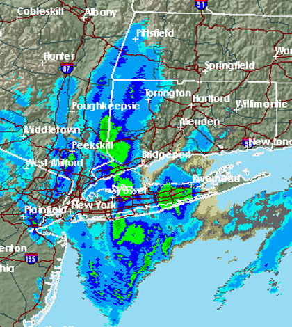
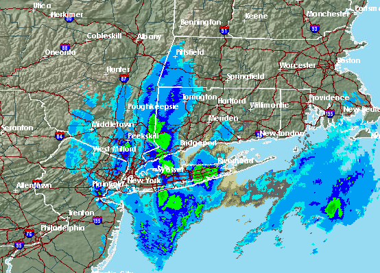
Some parts of Long Island saw several inches of snow Thursday morning as a nor’easter finally made its way to the area bringing gusty winds and a mix of rain and snow that is expected to last throughout the day Thursday.
The slow-moving nor’easter, forecaster said, isn’t going away anytime soon and will carry on until Friday morning. The Upton-based National Weather Service is expecting anywhere between three to five inches of snow after dark Thursday. A winter weather advisory remains in effect until noon Friday.
Because surface temperatures are above freezing its “going to be very tough going to get it to stick on the paved surfaces,” National Weather Service meteorologist Tim Morrin said of the snow.
But with the temperature expected to drop below freezing Thursday night, meteorologist are anticipating higher snow accumulation across the Island, with the only exception being communities between Bridgehampton and Montauk.
Forecasters downgraded the storm Wednesday night and predicted three to seven inches during the duration of the storm. A winter weather warning for eastern Suffolk County was cancelled late Wednesday afternoon.
Wednesday’s howling winds have also weakened, forecasters said, with gusts now reaching 40 mph.
Long Island Power Authority’s system held up during the storm and the utility is only reporting minimal outages, according to its website.
The Long Island Rail Road isn’t reporting any significant delays due to the storm.
Late Wednesday, Long Island MacArthur announced the cancellation of several flights but said operations would resume Thursday morning.
The weather should clear up this weekend with clouds giving way to sunny skies. The forecast calls for temperatures in the high-40s Saturday and Sunday.