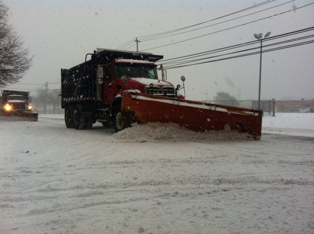
Up to 5 inches of snow was recorded in the East End Wednesday as a coastal storm rolled across Long Island overnight.
The storm mostly affected areas in eastern Suffolk County, with several areas measuring between 2 and 4 inches, while communities in Nassau and western Suffolk saw dustings of about an inch of snow, according to unofficial snowfall amounts posted by the Upton-based National Weather Service.
“The South Fork from the Hampton Bays east, they were the winners,” said Tim Morrin, meteorologist at the National Weather Service. “It was truly a coastal event.”
Long Island also woke up to another bitter-cold day, and the sunshine did little to warm up residents growing tired of the arctic blast continuing to freeze the region.
The wind chill knocked the temperatures to near sub-zero levels Wednesday morning, with Farmingdale at 1 above, and areas across LI mostly in the single digits.
Wednesday’s forecast calls for a high of 24 with winds up to 13 mph. But the wind chill will keep temperatures between 8 and 10 degrees during most of the day, and into the mid-single digits in the evening.
Thursday will also bring bright sunshine, forecasters said. The weather service is calling for a high of 29 with the wind chill making it feel like 20.
With the overnight snowfall taken into account, Long Island has seen around 25.1 inches in January, and 33.5 for the season, the weather service said.