
Another wintry mess may be headed our way.
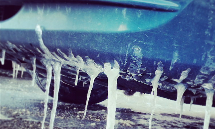
Forecasters said a “long duration winter weather event” is likely from late Sunday into Monday evening, bringing freezing rain along with minor snow accumulation. The wintry mix could cause significant travel problems, mostly during the evening commute.
The National Weather Service in Upton is forecasting snow and freezing rain beginning Sunday evening. The chance of precipitation is 60 percent, forecasters said. Ice accumulation of less than a tenth of an inch is expected.
The wintry mix will continue into Monday, with rain, snow, and freezing rain falling at different periods until 3 p.m., forecasters said. The precipitation will transition into rain and snow in the late afternoon. Only half an inch or less of snow is expected to fall, forecasters said. The chance of precipitation is 90 percent.
Saturday should be relatively calm, but there’s a slight chance of snow after 3 p.m., forecasters said. The temperature will hover above freezing, but wind chill values will make it feel like 25 degrees or less. There’s slight chance of rain and snow after 9 p.m. Saturday night.
Sunday should be cloudy, with the mercury topping off at 38 degrees. There’s a slight chance of rain Sunday during the day.