

The forecast for the fast-moving winter storm expected to hit Long Island this week has worsened now that forecasters are predicting six to 10 inches of snow potentially falling on the region.
The storm is expected to arrive late Wednesday and last through Thursday afternoon, meteorologists in the Upton office of the National Weather Service (NWS) said in a winter storm warning issued for Nassau and Suffolk counties. The warning was upgraded from an earlier winter storm watch.
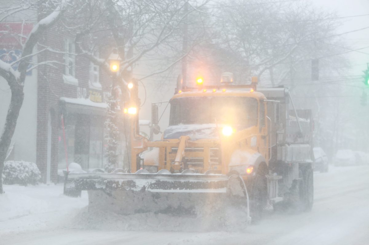
“Blowing and drifting snow is possible,” NWS said in the statement, adding that the storm may also cause “hazardous travel due to snow covered roads and poor visibilities.”
The storm is expected to bring heavy snow to the entire New York Metro area. Sustained winds up to 20 mph with 35 gusts are also in the forecast, making for visibility of 1/4 mile at times, forecasters said.
Before the storm hits, rain is in the forecast for Tuesday night. Temperatures are expected to reach a high of 58 Wednesday before dropping below freezing overnight when the snow is likely to start falling. After the storm passes, sunny skies but below-freezing temps are on tap for Friday with a chance of light snow at night.
PSEG Long Island said it is prepared for the storm, which may cause some power outages. NWS warned drivers to stay off the roads.
“Significant amounts of snow are forecast that will make travel dangerous,” NWS said in a statement. “Only travel in an emergency. If you must travel…keep an extra flashlight, food and water in your vehicle in case of an emergency.”