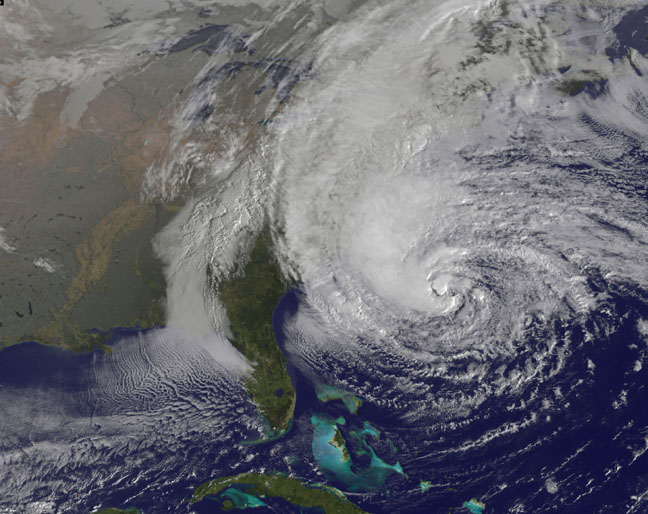
The nation’s top weather forecasters are warning that the 2017 Atlantic Hurricane Season is likely to produce more tropical storms and cyclones than they originally predicted shortly before the season started June 1.
Experts with the National Oceanic and Atmospheric Administration (NOAA) said Wednesday that they are upgrading the odds of an above-normal season from 45 to 60 percent since there have already been six named storms—twice as many as typically form by early August.
“We’re now entering the peak of the season when the bulk of the storms usually form,” said Gerry Bell, the lead seasonal hurricane forecaster at NOAA’s Climate Prediction Center. “The wind and air patterns in the area of the tropical Atlantic and Caribbean where many storms develop are very conducive to an above-normal season. This is in part because the chance of an El Nino forming, which tends to prevent storms from strengthening, has dropped significantly from May.”
NOAA initially predicted 11 to 17 named storms, of which 5 to 9 could become hurricanes—including 2 to 4 major hurricanes. The prediction for the number of hurricanes remained the same, but the agency has increased its forecast to 14 to 19 named storms and 2 to 5 major hurricanes.
A storm must have sustained winds of at least 39 mph to be named. For a storm to be declared a hurricane, it must have at least 74 mph sustained winds, the threshold for a Category 1. A major hurricane is defined as a Category 3, which has sustained winds of at least 111 mph, or stronger.
The agency said the season has the potential to become “extremely active,” possibly the most active since 2010. Peak hurricane season runs from mid-August through October. The season ends Nov. 30.
Of the six storms that have formed so far, two hit the US. Cindy made landfall June 22 at the Louisiana-Texas border and Emily struck July 31 in Anna Maria Island, Fla. The updated hurricane forecast comes as Franklin is about to hit Mexico.


