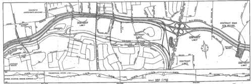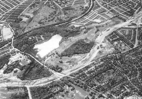
This month, Roslyn Landmark Society trustee Mitchell Schwartz, of Flower Hill, published an extensive history report for the Roslyn Landmark Society on the construction of the Long Island Expressway through the Roslyn area (between exits 36 and 39) during the 1950s. The thirteen page report highlights the planning and construction of the highway through the area, some of the challenges and controversies that arose, and how the opening of the LIE through North Hills, Roslyn Heights, and East Hills both alleviated traffic on the area’s surface streets and aided in the growth of Long Island’s world-class suburbs.
A significant amount of information used in writing the report was uncovered through research conducted in the Bryant Library Local History Center’s archives and the New York State Open Data website’s databases.
Schwartz has long been fascinated by the construction of I-495 through the Roslyn area, having been inspired by his Roslyn Middle School social studies teacher, Dr. Todd Postol, in the 8th grade during a pre-class conversation in which curiosity was expressed as to why Roslyn Middle School is the only school in the district south of the highway.
Schwartz, who wrote the report for the Roslyn Landmark Society, dedicates this publication to the Society in addition to The Bryant Library, Roslyn School District, and Dr. Todd A. Postol, the former Roslyn teacher who first inspired him to research the highway’s history when he was a child.

Information provided by the Roslyn Landmark Society.


