

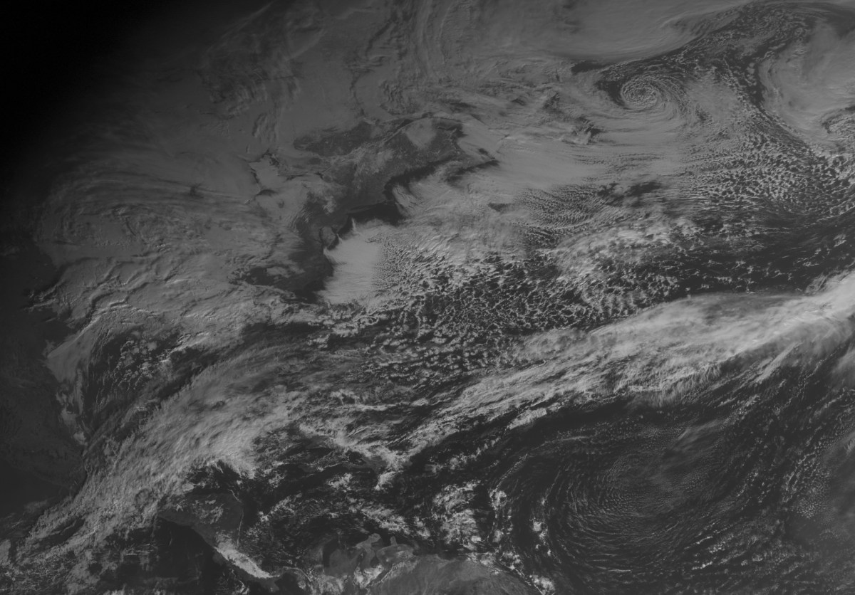
Long Island will be under a blizzard watch starting Saturday morning as the first major winter storm of the season barrels toward the region.
The National Weather Service’s advisory warns that the impending Nor’easter could dump up to a foot of snow on the Island. Strong winds and the heavy snow are expected to limit visibility to ¼ mile or less. The blizzard watch will be in effect until Sunday afternoon.
“Extremely dangerous travel due to heavy snowfall and strong winds with whiteout conditions likely,” the weather service said in a statement. “Secondary and tertiary roads may become impassable. Strong winds may down power lines and tree limbs.”
A blizzard watch means there is a potential for falling and/or blowing snow with strong winds and extremely poor visibility, making travel dangerous, the agency explained.
Forecasters are expecting 35 mph winds and 50 mph gusts Saturday. The current forecast has snow arriving Saturday afternoon, followed by periods of rain, snow and sleet. The snow could be heavy at times, forecasters said.
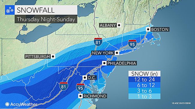
Dubbed “Jonas” by The Weather Channel, the powerful storm could impact up to 15 states with blizzard conditions as south as Washington D.C. and Maryland.
Officials on Long Island are warning residents to use caution while traveling.
“The message from the Suffolk County Police Department today is please be careful with the storm coming this weekend…Be prepared,” Deputy Commissioner Tim Sini told reporters during a press conference Wednesday.
The department already has equipment and people in place throughout the county to ensure road safety, Sini said.
“If you can stay off the roads, stay off it,” he said. “And if you have to travel, please use caution. Speed is your enemy.”
At a press conference Thursday morning, Nassau County Executive Ed Mangano echoed Sini’s warnings, urging residents to stay off the roads if travel isn’t necessary. The county has more than 200 employees at the ready and more than 28,000 tons of salt available to treat roadways, Mangano noted.
Gov. Andrew Cuomo said the state is preparing to allocate resources to localities caught in the storm’s path.
“This storm could have a significant impact in communities throughout the downstate area–so I am directing all relevant state agencies to be on alert and ready to respond as the weather develops,” Cuomo said in a statement. “We will be closely monitoring storm conditions throughout the weekend, and deploying resources and equipment as necessary.”
PSEG Long Island is conducting logistics and system checks ahead of the Nor’easter to “ensure the availability of critical materials, fuel and other supplies.”
“While snow and wind normally don’t pose a serious problem to the electric system, icing on lines and trees can increase the possibility of downed wires and power outages,” PSEG LI’s John O’Connell said in a statement.
Forecasters expect highs of 32 and 36 degrees Saturday and Sunday, respectively.
Friday is expected to be dry and chilly. The forecast calls for a high of 22 with wind chill values as low as 15.