
Long Island is bracing for what could be one of the most powerful winter storms in years as a Nor’easter barrels toward the region Friday bringing strong winds and heavy snow capable of downing tree limbs and causing power outages.
Agencies from across New York State have been preparing for a potential blizzard that could dump up to 20 inches of snow on the Island.
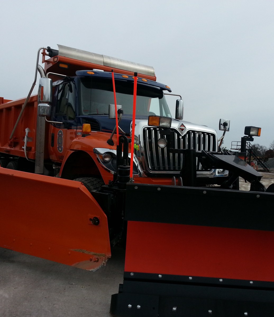
Both Nassau and Suffolk Counties have readied their fleet of plows and payload trucks to clear the roadways and have urged all residents to stay off the roads once heavy snow starts falling.
Additional maintenance crews and plows from upstate New York have arrived to aid local crews, the New York State Department of Transportation said.
The state has 198 large dump trucks prepped to treat snow and ice on state roadways, the agency said.
The Nor’easter is expected to take a turn for the worse during the mid-afternoon, possibly around 3 p.m., according to Tim Morrin, a meteorologist at the National Weather Service.
Morrin cautioned that Long Islanders should plan to escape to their homes around the mid-afternoon because the conditions will make driving dangerous.
“When things go downhill with this one,” he said, “it will happen quick.”
Morrin noted that temperatures will “drop across the board,” in the afternoon.
In order to accommodate the rush of commuters from Manhattan expected to bolt early, the Long Island Rail Road said it will provide eight extra trains between 2:09 p.m. and 3:48 p.m.
There will be additional trains on the Babylon, Port Jefferson, Port Washington and Far Rockaway Branches. Also, one Port Jefferson train will originate from Jamaica instead of Huntington.
In anticipation of the “powerful” storm, New York Gov. Andrew Cuomo will activate the State Emergency Operations Center at noon to monitor the storm and coordinate response efforts.
“As a major winter storm approaches New York State, I have activated the Emergency Operations Center effective noon tomorrow to coordinate response efforts using all state and local resources,” Cuomo said. “I urge New Yorkers to closely watch local news reports for weather updates and adjust their travel plans accordingly, including avoiding non-essential travel during and directly after the storm since roads will be icy with blizzard conditions in some places.”
The storm will be at its strongest from 9 p.m. Friday to 9 a.m. Saturday. During that 12-hour window, the Island could see wind gusts of up to 60 mph and rapid snow accumulation. Falling and blowing wind could cause whiteout conditions that will limit visibility to only one-quarter of a mile.
There’s also a chance that lightning and thunder will be mixed in with the storm, meteorologists said.
National Gird, which announced Thursday it will take over communications and storm preparations from the Long Island Power Authority, warned that the storm could knock out power to more than 100,000 ratepayers, many still fuming over outages caused by Superstorm Sandy.
In preparation for the storm, National Grid secured hundreds of extra line crews, tree trimmers and personnel to support more than 500 lineman and 150 tree trimmers, the utility said, adding it has also laid out plans to bolster call center personnel.
The unprecedented shift in storm duties comes just months after LIPA received a tongue-lashing from customers and public officials disappointed with the utility’s response to Sandy, which knocked out power to nearly 1 million ratepayers.
Long Island remains under a blizzard warning until 1 p.m. Saturday, according to the National Weather Service.
Most Long Islanders woke up Friday morning to a messy commute consisting of either snow or a mix of rain and snow that lasted through the morning.
From 3 p.m. until the evening, Nassau and Suffolk Counties are expected to be hit with up to 4 inches of snow before the weather rapidly deteriorates, the weather service said.
The storm, which is supposed to blanket most of the Northeast, caused airlines to cancel 3,000 flights.
Both John F. Kennedy Airport and LaGuardia Airport urged travelers to contact their airline before arriving at the airports.
Storm accumulation will differ throughout the Island but its possible that the North Shore could see higher accumulation than the South Shore, but both are vulnerable to coastal flooding, the weather service said.
Three to five foot waves are expected along the Long Island Sound and 5 to 7 foot waves are possible on the East End, the NWS said.
The storm could cause widespread flooding to shore roads and basements.
Most agencies are pleading to drivers to stay off the roads and out of the way of plows.
“We are warning drivers that they should NEVER pass a snow plow or follow too closely,” the state department of transportation said in a statement. “They should also maintain a safe speed and distance from other vehicles.”