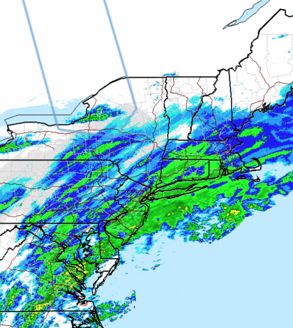

A winter weather advisory is in effect until 5 p.m. Tuesday as a winter storm capable of producing 5 inches of snow makes its way across Long Island, meteorologists said.
The storm came just in time for the morning commute and provided LI with its first significant snow accumulation of the season.
While the storm slowed down traffic along some of LI’s busiest roads, it wasn’t being blamed for serious weather-related traffic accidents.
Service on the Long Island Rail Road had yet to be disrupted as of 10:30 a.m., with the railroad reporting good service on all its branches.
The National Weather Service predicted up to 5 inches of snow in most areas, but noted that snowfall could be heavier in other areas. Temperatures should drop to at or below freezing “allowing for snow accumulations,” the NWS said.
Snowfall is expected through the morning and early afternoon before tapering off during the first half of the evening commute, meteorologists said.
The storm is also capable of producing sleet or freezing train that could cause slippery and hazardous travel conditions, meteorologists said. Brief bands of moderate to heavy snow could also limit visibility to a half-mile, the NWS said.
In response to the storm, Suffolk County will open its emergency operations center at 1 p.m.
The county also said the Department of Public Works has been on county roads through the morning, applying salt to roads in an attempt to limit snow accumulation.
“Be safe as you travel the roads today,” Suffolk County Executive Steve Bellone said.
The storm should move out by the evening, forecasters said, but temperatures will continue to fall and wind could pick up.
Wednesday’s forecast calls for mostly sunny skies with a high near 29.
Suffolk directed its residents with non-emergency police calls to dial 631-852-2677.