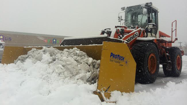
A blizzard is forecast to dump more than three feet of snow on Long Island with wind gusts up to 65 mph starting Monday, with the blowing snow potentially causing whiteout conditions.
The National Weather Service issued a blizzard warning from 1 p.m. Monday to 12 a.m. Wednesday for Nassau and Suffolk counties, where 24 to 36 inches is possible, forecasters said. There is also a coastal flood watch in effect from 12 a.m. to 5 a.m. Tuesday.
“Heaviest snow and strongest winds will occer overnight Monday into Tuesday,” meteorologists from the agency’s Upton office said in a statement, which added that the storm could be crippling, historic and life threatening. “Secondary and tertiary roads may become impassable. Strong winds may down power lines and tree limbs.”
The same storm is expected to impact the Mid-West before blanketing parts of New England. It may be the biggest storm to hit the region since a blizzard dumped a record-breaking nearly three feet of snow on parts of LI two years ago.
The blizzard warning means the heavy snowfall is likely to combine with sustained winds of 25 to 35 mph may reduce visibility to a quarter of a mile or less at times. The storm is likely to cancel flights, make driving dangerous and could impact Long Island Rail Road service.
When the storm is expected to hit Monday afternoon, temperatures are forecast to be in the 20s with wind chill values in the teens. Those temps are predicted to hold through Tuesday, when it may drop down into the teens after sundown.
Once the storm passes, Wednesday is forecast to be sunny before a 30-percent chance of snow returns Thursday night. The weekend forecast includes sunny skies in the 30s for Friday and Saturday.