

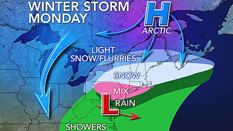
A wintry mix brought on by a winter storm churning north will fall on Long Island throughout the day Monday, but very little snow accumulation is expected, forecasters said.
While the Island will be spared the brunt of the storm, officials are still urging drivers to use caution because the combination of freezing rain, snow, and sleet could cause hazardous driving conditions. Visibility will also be reduced to a half-mile or less at times, forecasters said.
“Anyone traveling later this evening should travel with caution…because we are looking at temperatures not really getting above freezing today,” said Brian Ciemnecki, a meteorologist with the National Weather Service (NWS) in the agency’s Upton office. He added that the precipitation will be “intermittent” and “fairly light.”
The NWS, which issued a winter weather advisory for Nassau and Suffolk counties until 6 a.m. Tuesday, said parts of LI could see up to an inch of snow and a tench of an inch of ice.
Gov. Andrew Cuomo also said drivers should exercise caution due to the mix of snow and ice.
“We have deployed resources in every region of the state to respond and will closely monitor conditions as the storm progresses over the next 36 hours,” Cuomo said.
The system will move out of LI Monday night, giving way to dry conditions Tuesday and Wednesday, Ciemnecki said.
While the region will mostly be spared by the storm, other areas to the north of the Island could see more than a foot of snow.