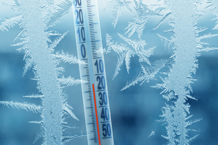
A cold snap is forecast to bring dangerously freezing temperatures with wind chills well below zero to Long Island this weekend after a mild and mostly snow-free start to the winter, experts say.
Temps in the 40s and 30s this week will drop into the teens Friday night into Saturday, when wind chills will feel like between -15 to -25 in coastal locations, according to the National Weather Service (NWS), which issued a hazardous weather outlook.
“It’s a pretty big swing between Saturday and Sunday,” said Joe Pollina, an Upton-based NWS meteorologist. “Dress accordingly. We haven’t had much in the way of cold weather, so people may not be acclimated to it.”
The wintry weather is a part of an arctic blast bringing a massive ice storm to Western states later this week, although no precipitation is expected to reach LI during the cold snap.
News of the subzero weather came as a light dusting of snow fell on parts of Nassau and Suffolk counties on Tuesday. The next change of precipitation comes on Sunday, when there’s a 30% chance of snow showers following the cold snap.