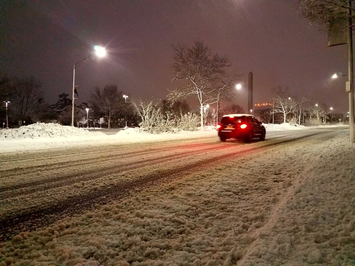
The second nor’easter to hit Long Island in less than a week dumped nearly nine inches of heavy, wet snow on parts of the region Wednesday and also caused strong winds, power outages and flooding.
The National Weather Service reported that the highest snowfall accumulation on LI was in Oakdale, which got 8.9 inches. Amounts varied widely from town to town, with nearby Sayville getting 2.2 inches. In Nassau County, snowfall ranged from 6 inches in Roslyn to 2.5 inches in Oyster Bay. PSEG Long Island reported nearly 20,000 customers without power as of 9 a.m. Thursday.
“Due to the recent heavy snowfall across parts of the region, many secondary roadways remain snow covered,” Up-based NWS forecasters said in a statement. “Motorists are advised to allow extra travel for the morning commute. In addition, the heavy
weight of the snow may bring down tree limbs and power lines.”
The highest snowfall amounts in the tri-state area were in Connecticut and the Lower Hudson Valley, which got 26 inches.
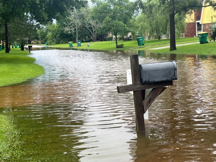
Peak wind gusts on LI were recorded at 53 mph on Great Gull Island and 46 mph in Bayville. Widespread reports of flooding in coastal communities occurred throughout the storm. Besides traffic delays, the storm also caused Long Island Rail Road issues when downed utility wires and trees blocked the tracks.
Now that the storm has passed, mostly sunny skies with temperatures in the 40s are forecast through the weekend, although there’s a 40-percent chance of more rain and snow Monday.