Hold on Long Island—the storm is almost over.
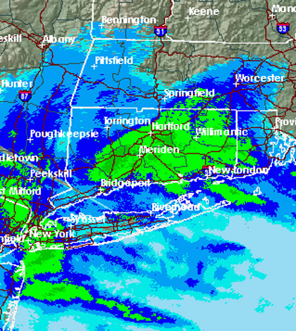
The nor’easter that dropped up to 8 inches of snow on the Island Friday is finally nearing its end after a two-day event that included a mix of rain and snow, strong gusty winds and plenty of armchair forecasting.
After some residents pooh-poohed the first round of the storm, which sprinkled the area with 1 to 3 inches of snow, the nor’easter’s final act brought heavier snowfall that slushed up roadways and slowed the morning commute.
The storm brought 8 inches of snow to Syosset and more than 7 inches to other communities. Orient saw the highest accumulation in Suffolk County, according to the weather service, with 7.1 inches.
Forecasters with the Upton-based National Weather Service said a wintry mix of rain and snow will continue to fall over the next several hours, but the worst is behind us. Soon it will taper off and give way to much-needed sunny skies this weekend—and temperatures in the upper 40s.
Some of the roads across the Island are still wet but it’s not expected to seriously impact the evening commute, though they could freeze overnight when temperatures drop under 30 degrees.
The winter storm, which has lingered over Long Island for more than two days, was more of a headache than anything else. Long Island Power Authority customers didn’t go through prolonged outages, and public transportation, specifically the Long Island Rail Road, wasn’t adversely impacted.
The only major disruption came in the air, with travelers facing delays at area airports. Islip’s Long Island MacArthur Airport cancelled flights late Wednesday but continued normal operations Thursday morning.
As for this weekend, forecasters are calling for sunny skies with temperatures in the upper 40s. There’s even better news for Monday, meteorologists said, with temperatures possibly piercing 50 degrees.