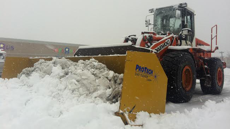
Long Island will likely be snowier than usual despite temperatures forecast to be above average this coming winter, according to a seasonal outlook released by the National Oceanic and Atmospheric Administration (NOAA).
Exactly how much warmer or how many more inches of precipitation was not specified in the 2014-2015 U.S. Winter Outlook, which gives a 33-percent chance to the estimates, according to NOAA’s Climate Prediction Center that issued the report Thursday. But, experts say the difference may be minimal.
“Of the large-scale climate signals, the forecast is that there’s a chance that there’s going to be slightly above-normal temperatures” and precipitation, Lauren Nash, an Upton-based National Weather Service meteorologist, told the Press.
The mean temperature for LI from Dec. 1 to Feb. 28 is 33 degrees and the average snowfall for the same time period is 19.92 inches at Long Island MacArthur Airport in Ronkonkoma, which serves as NWS reference point for Nassau and Suffolk counties.
The seasonal outlook report comes after the Farmer’s Almanac also predicted in August that the Northeast will see above-normal snowfall, although the 223-year-old New Hampshire-based publication also forecast that temps would be 1-to-4 degrees below average for the region. The NOAA outlook countered that forecast, predicting a break from the exceptionally cold winter last year.
The three-month forecast also gives the same probability of a wetter-and-usual winter to much of the East Coast and southwest regions of the nation. The same odds of above-average temps also went to states in the Northern Great Planes.
The report does not specify exactly when storms will arrive. Such short-term forecasts are only given about a week in advance. The same is true for any forecast that the polar vortex may deviate south from the arctic to the United States at some point, as it did last winter.
So dust off those snow shovels, ice scrapers and heavy coats, because winter’s coming!


