
Parts of Long Island could receive up to 8 inches of snow Saturday as a second storm this week treks east.
In response, the National Weather Service’s Upton office issued a winter storm warning from 7 a.m. Saturday until 1 p.m. Sunday for eastern Suffolk County—meaning there’s a potential for hazardous driving conditions. A winter weather advisory has been issued for western Suffolk.
According to the forecast, the East End could see 4-8 inches of snow, and western Suffolk 4-6 inches.
There are no advisories active for Nassau County, which could see up to 3 inches of snow.
Saturday is expected to be mostly cloudy with a high near 26 and wind chill values in the teens. The mercury will only plunge from there, with forecasters predicting wind chill temperatures in the single digits at night.
Snow will develop Saturday morning and continue into the evening, forecasters said. It could cause snow-covered roads and reduced visibility of a mile or less, the NWS said. The agency urged drivers to use caution.
The storm is currently navigating the south, where parts of at least nine states have active winter weather alerts. Meteorologists are warning of major travel days for drivers and airline passengers alike.
This would be the most significant snowfall of the season on LI.
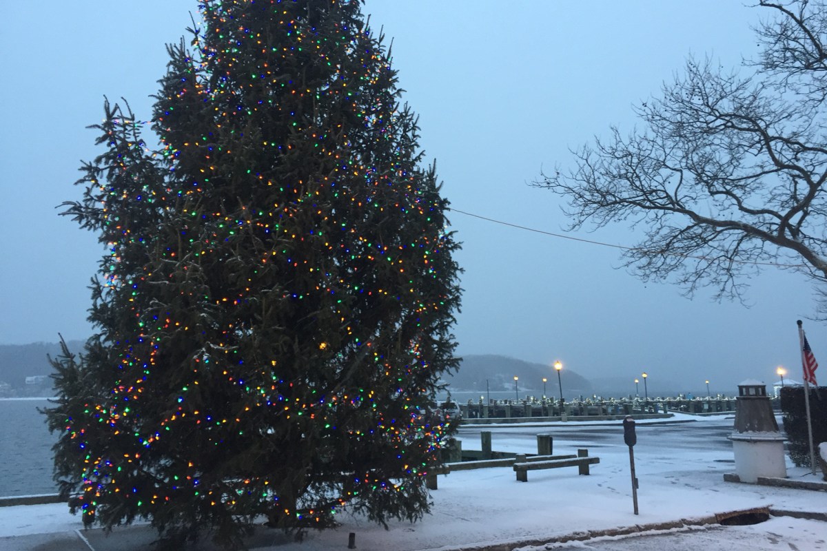
Friday morning’s storm amounted to a dusting across most of the Island except for some eastern Suffolk communities that measured up to 4 inches of snow.
The worst weather Long Islanders have had to contend with thus far has been frigid temperatures caused by arctic air flowing through the region.
While there’s no snow in Sunday’s forecast (for now), below-freezing temperatures are expected. Maybe the Giants can warm our hearts with a big win against the Packers on Sunday.